|
Discuss
This Article
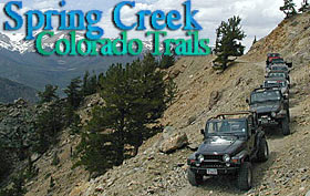
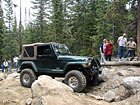
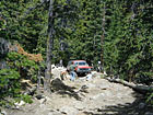
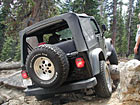
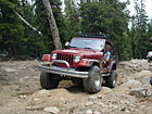
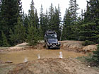
What follows is a quick look at one of Colorado's many beautiful
trails. Just because you've got a big ol' four wheel drive doesn't
mean that every time you use it you've got to be out breaking parts
and rolling over. Sometimes, just getting away and enjoying nature's
beauty is more than enough. Welcome to Spring Creek.
|
Trail Information
|
|
GPS
N 39, 45.782'
W105, 38.008'
Elevation:
The
trail starts at about 8118 feet and climbs to more than 11,000
feet.
|
Trail Description
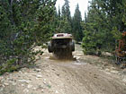
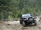
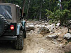
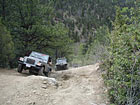
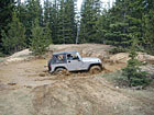
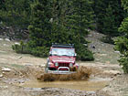
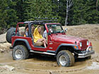
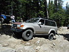
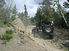
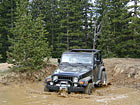
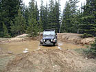
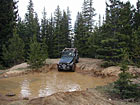
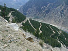
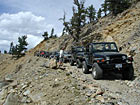
The
Spring Creek trail climbs from the canyon floor just off of I-70
near Downieville in Colorado to the top of a mountain and back down
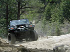
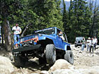
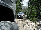
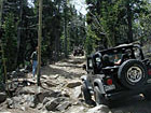
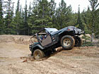
into the town of Georgetown. The trail is mostly a long rocky climb
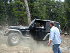
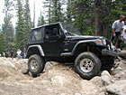
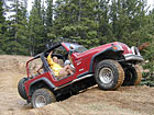
up a narrow road. There is one major obstacle near the beginning
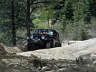
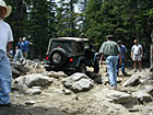
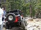
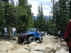
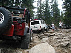
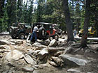
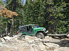
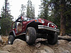
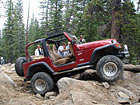
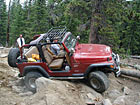
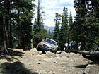
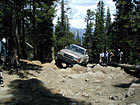
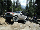
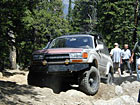
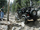
of the trail that is totally optional. Near the top of the trail
there is a very impressive boulder field that is the only real hard
core challenge.
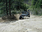
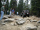
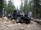
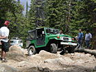
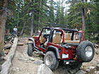
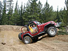
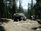
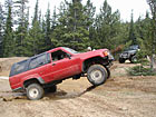
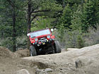
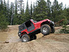
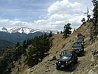
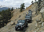
I have seen
stock Jeeps with good drivers negotiate through the bypasses with
no problem. The boulder field can present a serious challenge for
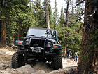
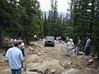
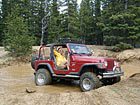
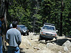
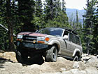
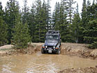
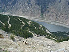
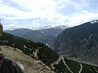
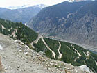
more entertainment. One of the coolest thing about this trail is
the views of the surrounding mountains as the trail climbs up and
then back down the mountain. The trail is pretty long. If you leave
early you should be able to get through it by mid-afternoon.
| Directions: |
|
From
Denver go West on I-70 to the Downieville exit. You will want
to continue west on the service road. You will pass under I-70
one time. There is a left turn immediately before the road passes
under I-70 the second time. Take this left turn, cross the bridge
and turn left into the dirt lot. This is the trial head. The
trail is very easy to follow. If you want the first hard core
challenge stay to the left, if you want to bypass it take the
first right. There is only one way to go from there. At the
very top of the trail you will find some signs that will help
you find your way down to Georgetown. |
|