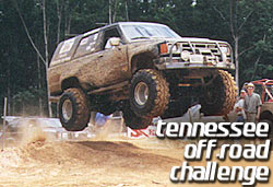
The Tennessee Off-Road Challenge
Monteagle, TN - June 23-25, 2000
Nav 1
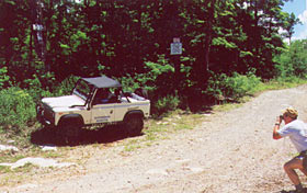
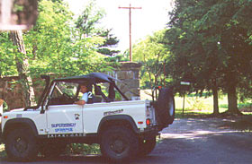
The first event was a Navigation run. Each team was given a 3-ring binder. On each page was a navigation point number, Latitude and Longitude points and a photo of Dave Cagle's red TJ taken in that spot. The instructions were simple; take a Polaroid photo of your truck in the same spot as Dave's Jeep and tape it on the page for proof. Sounds simple if you have a GPS, right? Wrong! Points could be either on the street or on trails. They could also be anywhere. If a point was down a trail, the driver had to find the start of that trail first. t was easy to go several miles and realize that somewhere there must have been a trail entrance and have to back-track. We decided to tag along with Team 2 in their Land Rover.
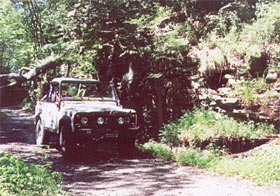 The Goat Trail is a well-known trail to those who have been to Monteagle before. Most of the drivers figured out that many of the points would be off of this trail. |
 Several forks go off of the Goat Trail and one of the points was along the rail road tracks that criss-cross through the area. |
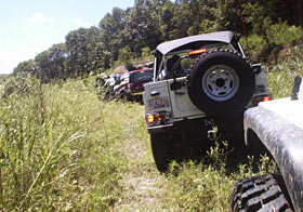 Several of the trucks bunched up the train tracks. You'd think you could just follow another team to the other points. But what if they don't know where they're going either? |
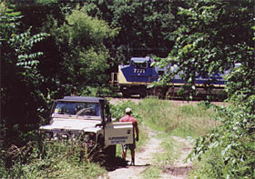 While the train was going by, our faithful Defender drivers realized that their GPS points that they had plotted on their map were all wrong. Time to remap them! |
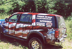 The Russels seemed to know what they were doing in their beautiful Ford Expedition. They came. They shot a photo. They went on their way. |
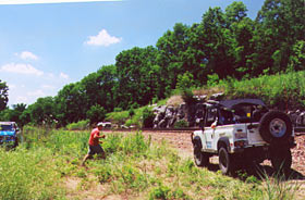
 Meanwhile, the Bronco II team and our Defender friends took their sweet time figuring out where to go. |
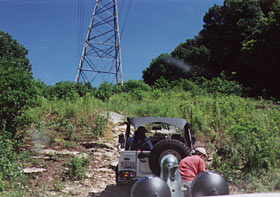 The power line section offered some real 4-wheeling to get to one of the nav. points. |
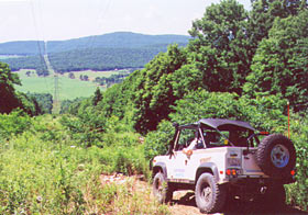 Coming down from the power line is a beautiful vista. |
 A Polaroid is taken for proof. |
 One spot was on the street by the Natural Bridge. |